


9,2 km | 14,6 km-effort


Tous les sentiers balisés d’Europe GUIDE+


Gratisgps-wandelapplicatie
 SityTrail
IGN / Geografische instituten
SityTrail World
De wereld gaat voor u open
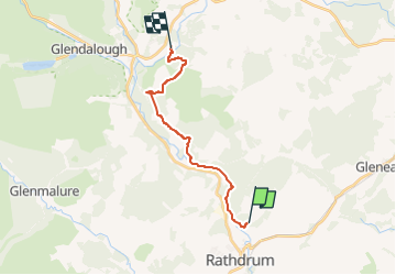
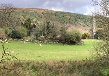
Tocht Te voet van 12,9 km beschikbaar op Onbekend, County Wicklow, The Municipal District of Arklow. Deze tocht wordt voorgesteld door SityTrail - itinéraires balisés pédestres.
Tocht aangemaakt door Wicklow Uplands Council.
Symbool: yellow hiker on black
Website: http://www.irishtrails.ie/Trail/Avonmore-Way/905/


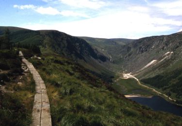
Te voet
Te voet
Te voet

Te voet
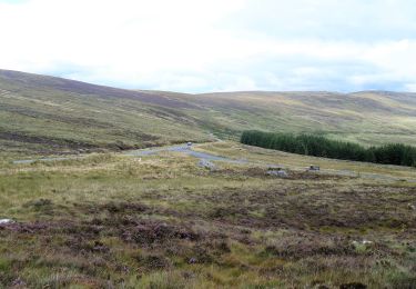
Stappen

Stappen

Andere activiteiten
Stappen
Stappen